Water
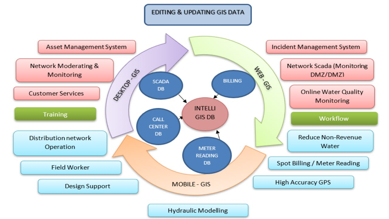
The aim of GIS is to provide real time and up-to-date information which in turn, support utilities in their decision-making process which at times are critical due to time constraint for example, deciding on which DMA/DMZ to focus on based on the number of leaks found in the area. Moreover, GIS platforms are used for asset management whereby crucial data are inputted, quality-checked, updated and deployed whereby all information can be shown in a dashboard for convenience. With the latest GIS technology, users can access the system anytime and anywhere by using mobile application. Utilities can visualize information to see what others cannot see based on real mapping of a certain area. Data can be centralized along with built-in analysis tools to analyse what utilities prioritize based on their goals. Furthermore, GIS can act as a mapping asset for utilities to perceive what they currently own and what they are lacking.